 |
|
 |
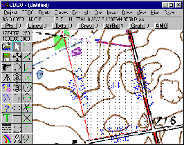
Real-time Lat / Long or State Plane coordinates
|
 |
-
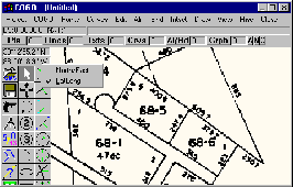
Complete project planning, development, design, and production over geo-referenced images
-
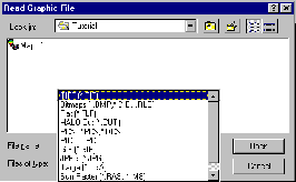
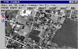
Background images can be USGS Quads, aerial photographs, tax maps, or any scanned image.
|
 |
-
Quickly draw preliminary proposals directly on top of background images
-
Plot deeds on geo-referenced background map
-
Find property corners quickly using coordinates for fast reconnaissance and orientation
|
